
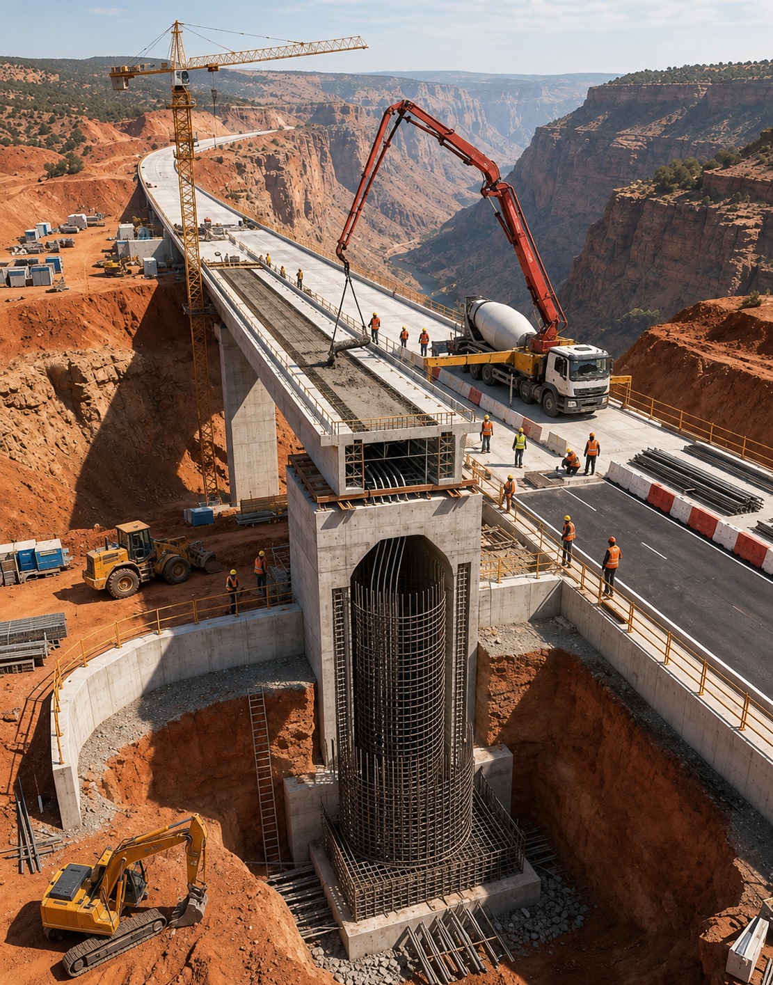
Course Overview
Become a highway design professional by mastering industry-standard workflows used in road and infrastructure projects. This program covers alignment design, corridor modelling, grading, drainage, terrain analysis, LiDAR integration, and BIM workflows using leading Autodesk and GIS technologies. Gain hands-on experience through live projects and portfolio-ready capstone assignments.
Who Can Join
- Diploma, B.E. & B.Tech Civil Engineering Students
- Highway & Infrastructure Engineers
- Survey Engineers & CAD Professionals
- Working Professionals in Civil Design
Course Modules / Curriculum
Software / Tools Covered
Master professional software used by highway, transportation and infrastructure companies.
Learning Outcomes
- Design highways following IRC and international standards
- Create alignments, profiles and corridor models
- Perform grading, drainage and earthwork analysis
- Process terrain, DEM, DSM and LiDAR datasets
- Integrate GIS and Google Earth Pro with Civil 3D
- Deliver complete highway design projects with BOQs and drawings
Career Opportunities
Prepare for careers such as:
- Highway Design Engineer
- Civil 3D Designer
- Road Design Engineer
- Infrastructure BIM Technician
- Survey & Design Engineer
- Transportation Engineer
- CAD Engineer
- Infrastructure Design Consultant
Benefits & Certification
- Industry-Recognized Professional Certificate
- 3 Industry Capstone Projects
- Live Highway Design Project
- 1-Month Internship
- Placement Assistance
- Resume & Mock Interview Preparation
- Certification Guidance
Why Choose This Course
Master Professional Highway Design Workflows
Learn the complete road design process—from survey data and terrain modelling to alignments, corridors, drainage systems, and final deliverables. Train on real industry projects using Civil 3D, InfraWorks, Global Mapper, and Google Earth Pro while building a professional portfolio.
Course Highlights
- Live Instructor-Led Training
- Online & Offline Learning
- 13 Industry-Focused Modules
- 3 Portfolio Projects
- Real IRC Highway Project
- Internship & Placement Support
- Professional Certification