
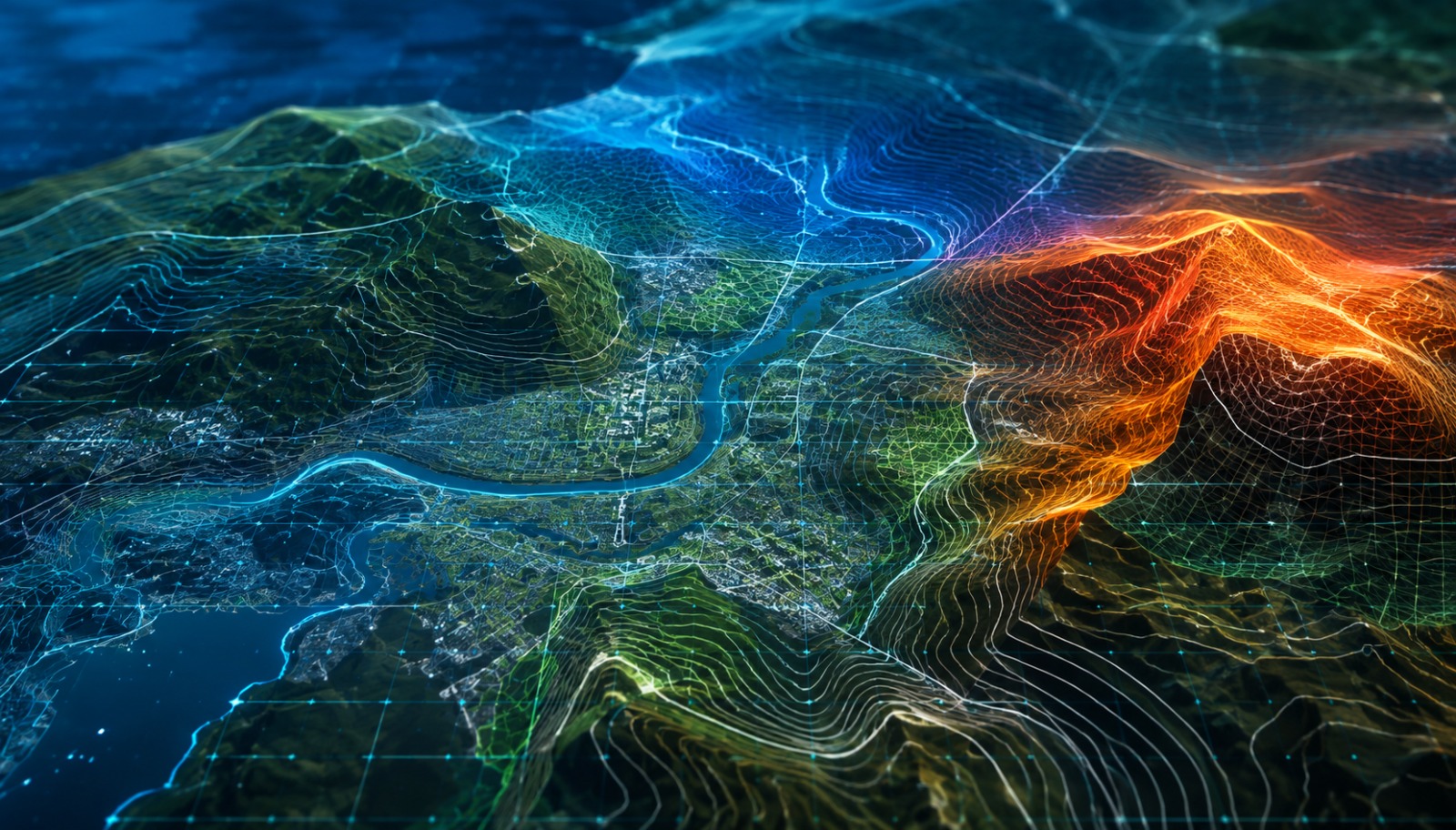
Course Overview
Our Master's in GIS with QGIS is designed to build practical geospatial skills using industry-standard GIS workflows. Learn digital mapping, spatial analysis, geoprocessing, remote sensing, point cloud data processing, and map visualization through hands-on projects and real-world applications. Develop expertise in QGIS, geospatial data management, and spatial analytics while preparing for careers in GIS, urban planning, utilities, environmental management, and infrastructure development.
Who can join
- Diploma, B.E. & B.Tech Students
- M.E. & M.Tech Students
- Civil, Geomatics & Environmental Engineers
- GIS Professionals & Survey Engineers
- Fresh Graduates & Working Professionals
Course Modules / Curriculum
Software / Tools Covered
Master professional geospatial software used for mapping, spatial analysis, infrastructure planning, and environmental projects.
Learning Outcomes
- Create professional digital maps using QGIS
- Map Creation
- Perform spatial analysis and geoprocessing
- Process remote sensing and point cloud datasets
- Manage geospatial databases and project workflows
- Complete real-world GIS projects for your professional portfolio
Career Opportunities
Prepare for careers in like:
- GIS Analyst
- GIS Technician
- Cartographer
- Urban Planner
- Environmental Consultant
Benefits & Certification
- Industry-Recognized QGIS Certification
- Live GIS & Mapping Projects
- Placement Assistance & Career Guidance
- Resume, Portfolio & Interview Preparation