
Course Overview
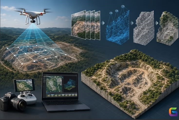
The Master Advanced GIS with QGIS & Point Cloud Technology program is designed for learners who want to move beyond traditional GIS and develop advanced geospatial skills. Gain hands-on experience in QGIS, Google Earth Pro, WebODM, CloudCompare, Potree, and QSWAT+ while working with drone imagery, LiDAR datasets, point clouds, and hydrological modelling. Develop practical expertise through live projects that reflect modern surveying, infrastructure planning, environmental analysis, and digital mapping workflows.
Who can join
- GIS & Geomatics Students
- Civil, Survey & Environmental Engineers
- GIS Professionals & Drone Surveyors
- Remote Sensing & Mapping Professionals
- Working Professionals with Basic GIS Knowledge
Course Modules / Curriculum
Software / Tools Covered
Master professional geospatial software used for drone surveying, remote sensing, LiDAR analysis, hydrology, and web-based GIS applications.
Learning Outcomes
- Perform advanced GIS analysis using QGIS
- Process drone imagery to generate Orthophotos, DSM, DTM & Point Clouds
- Classify and analyze LiDAR datasets using CloudCompare
- Publish interactive 3D Point Cloud projects using Potree & GitHub
- Build watershed models using QSWAT+
- Develop an industry-ready portfolio through three capstone projects
Career Opportunities
Prepare for careers in GIS, surveying, remote sensing, and geospatial engineering.
Prepare for high-demand roles such as:
- GIS Analyst
- Geospatial Engineer
- Remote Sensing Analyst
- LiDAR & Point Cloud Specialist
- Drone Data Processing Engineer
- Survey Engineer
- GIS Consultant
- Environmental GIS Specialist