
Course Program

Master's in Geographic Information Systems (ArcMap)

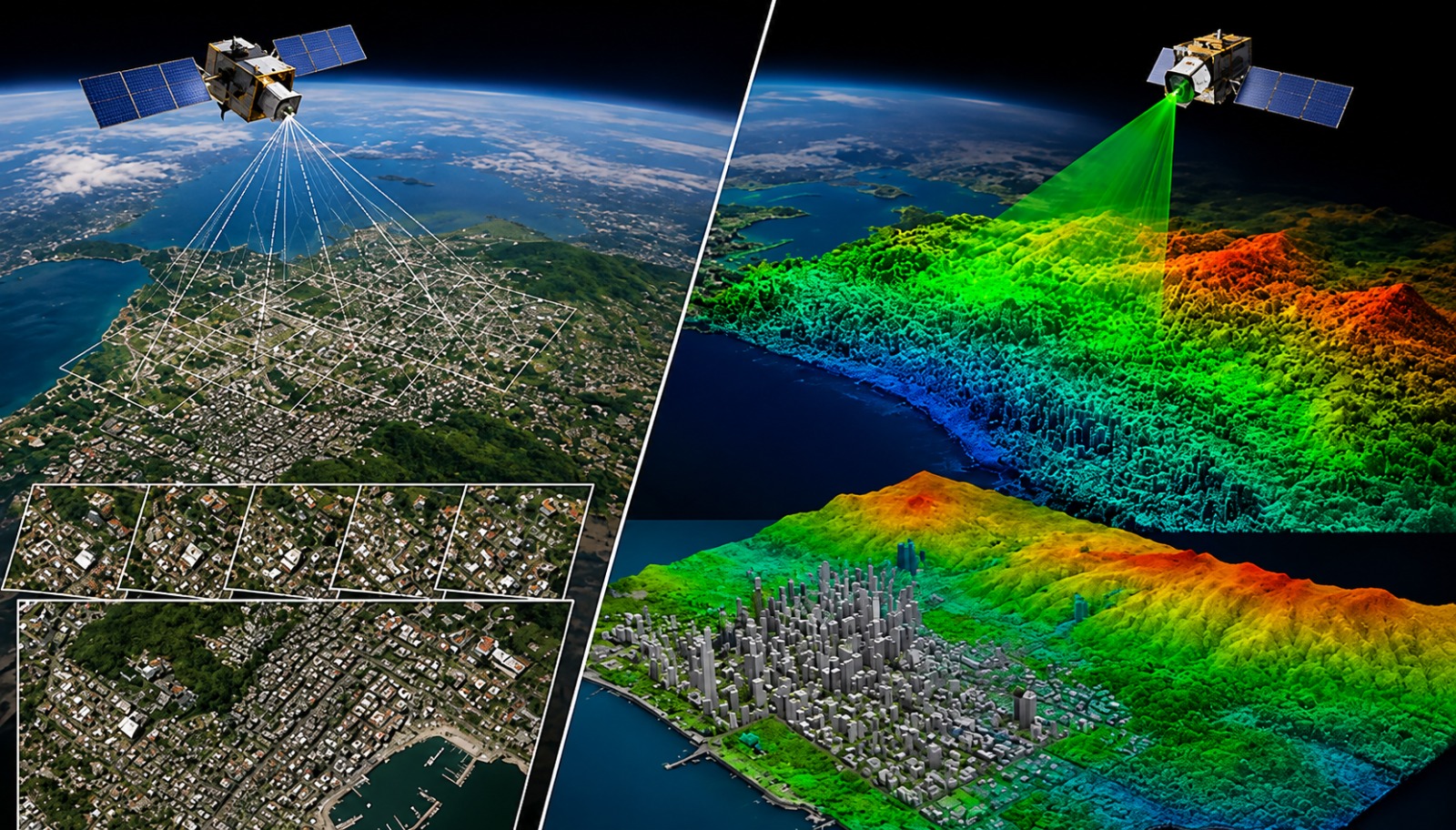
Build industry-ready GIS skills with ArcMap and become a geospatial professional. Learn mapping, spatial analysis, remote sensing, point cloud processing, and GIS database management through practical projects and real-world workflows used across infrastructure, surveying, environmental management, and smart city development.

Master's in GIS Using QGIS
Overview

Course Overview

Master Geographic Information Systems (GIS) using ArcMap, one of the most trusted platforms for spatial analysis and mapping. This course combines GIS fundamentals with remote sensing, drone data processing, point cloud visualization, and geospatial analysis to prepare you for real engineering and planning projects. Learn through practical assignments, live projects, and industry-focused workflows.

Who can join

  • Diploma, B.E. & B.Tech students in Civil, Geomatics, Architecture and related fields
  • Surveying, Planning and Environmental Engineering professionals
  • GIS, Mapping and Remote Sensing enthusiasts
  • Working professionals looking to upskill in Geospatial Technology

Course Modules / Curriculum

ArcMap Fundamentals Spatial Analysis & Geoprocessing Geodatabase ManagementRemote Sensing Applications Google Earth Pro Point Cloud Processing Capstone Projects

Software / Tools Covered

Gain hands-on experience with industry-standard GIS and geospatial software used in surveying, infrastructure planning, environmental studies, and spatial analysis.

Learning Outcomes

  • Create professional GIS maps and spatial databases using ArcMap
  • Perform spatial analysis and geoprocessing for engineering projects
  • Process satellite imagery and remote sensing datasets
  • Generate and visualize point cloud data from drone surveys
  • Publish interactive GIS and 3D point cloud projects
  • Build a professional portfolio through industry-based capstone projects

Career Opportunities

Prepare for careers in GIS, surveying, remote sensing, and geospatial engineering.

Benefits & Certification

  • Industry-Recognized Professional Certificate
  • Hands-on Practical Training
  • 3 Industry Capstone Projects
  • Placement Assistance
  • Interview & Resume Preparation
  • Portfolio Development Support
FAQs

Course questions

What is the Master’s in Geographic Information System (GIS) using the QGIS program?

A 1.5‑month hybrid (online/offline) master’s course focused on QGIS for spatial data management, analysis, and visualization, blending fundamentals with advanced workflows.

Who is eligible to enroll in the GIS with QGIS Master’s program?

Bachelor’s or Master’s graduates in geography, environmental science, earth science, or related fields. Diploma/BE/B.Tech. (Civil/Architecture) final‑year students and working professionals.

How long is the course and what delivery formats are offered?

The program runs for 45 days (1.5 months) and combines live interactive sessions with recorded videos, making it ideal for both full‑time students and working professionals .

Which QGIS software version will be taught in this course?

You’ll master QGIS 3.22, the latest stable release at the time of training, ensuring up‑to‑date skills for industry applications.

How many modules are covered and what topics do they include?

The curriculum spans 29 modules, from spatial data collection and management to advanced cartography, geoprocessing, Python plugin automation, and map visualization.

Will I work on real‑world projects and receive certification?

Yes, you’ll complete a global capstone project, earn an industry‑recognized ISO certificate, and be prepared for official QGIS certifications.

What placement and career support does BIM Mantra provide?

The academy guarantees 100% placement assistance, including mock interviews, resume building, and direct connections with top AEC recruiters in India and abroad.

What job roles can I pursue after completing this Master’s in GIS with QGIS?

Graduates commonly become GIS Analyst, GIS Developer, Cartographer, Urban Planning Specialist, or Environmental GIS Consultant across industries.

Enquiry

Learn GIS the Way Industry Works

Develop practical GIS skills through real projects, expert mentoring, and industry-standard software. This course is designed to help you confidently work on mapping, spatial analysis, remote sensing, and point cloud projects from day one.

Request a Call Back